![[{[item.product.name]}]]([{[item.product.photo.url]}] 75w)

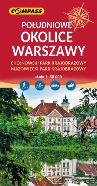
 1:50 000")
Mapa - Tatry Niżne (Tatry Niskie) 1:50 000
Rodzaj: mapa dwustronna Skala: 1:50'000 Rok wydania: 2024 Wydanie: 3 Format: B1 To pierwsza mapa Niskich (Niżnych) Tatr wydana przez polskie wydawnictwo. Mapa turystyczna dwustronna, w skali 1:50 000 obejmuje swym zasięgiem cały łańcuch górski. Ten piękny masyw znajdujący się niedaleko naszych granic, jest wspaniałym terenem na aktywny wypoczynek. To bardzo rozległe pasmo, z coraz lepszą infrastrukturą turystyczną, jest stosunkowo wolne od tłumów. Nagie szczyty, ciągnące się kilometrami szlaki po szerokich graniach zapewniają kosmiczne wręcz widoki - to jedne z bardziej panoramicznych gór Słowacji. Jest to już drugie wydanie tej mapy.
Safety Information
For use under direct adult supervision, Need to use protective measures. Do not use in traffic, Not suitable for children under the specified age. For use under adult supervision, This toy does not offer protection, Includes a toy. Adult supervision recommended
It has the CE mark confirming compliance with the requirements of the European Union directive for this type of device.
CE Declaration of Conformity | Complies with EN-71 - Safety of toys
For children over 3 years of age
It has the CE mark confirming compliance with the requirements of the European Union directive - Compliant with the EN-71 standard - Safety of toys