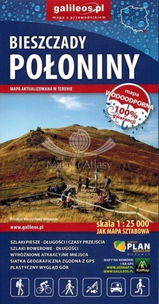
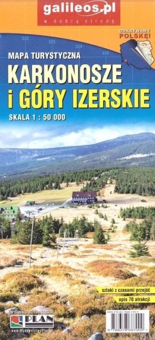
Mapa - Zakopane i okolice 1:60 000
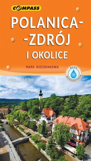
Jest to praktyczna mapa turystyczna dla zwiedzających Zakopane, Tatry i Podhale. Jedna strona zawiera mapę okolic Zakopanego (Tatry i fragment Podhala) w skali 1:60'000 z zaznaczonymi szlakami turystycznymi oraz wybranymi atrakcjami turystycznymi. Obok znajdują się opisy tych atrakcji wraz z fotografiami. Na drugiej stronie zamieszczony został plan Zakopanego (1:15'000) ze spisem ulic oraz niewielki przewodnik opisujący atrakcje turystyczne i miejsca warte zobaczenia w stolicy polskich Tatr.
Safety Information
For use under direct adult supervision, Need to use protective measures. Do not use in traffic, Not suitable for children under the specified age. For use under adult supervision, This toy does not offer protection, Includes a toy. Adult supervision recommended
It has the CE mark confirming compliance with the requirements of the European Union directive for this type of device.
CE Declaration of Conformity | Complies with EN-71 - Safety of toys
For children over 3 years of age
It has the CE mark confirming compliance with the requirements of the European Union directive - Compliant with the EN-71 standard - Safety of toys
![[{[item.product.name]}]]([{[item.product.photo.url]}] 75w)


